SUMMARY
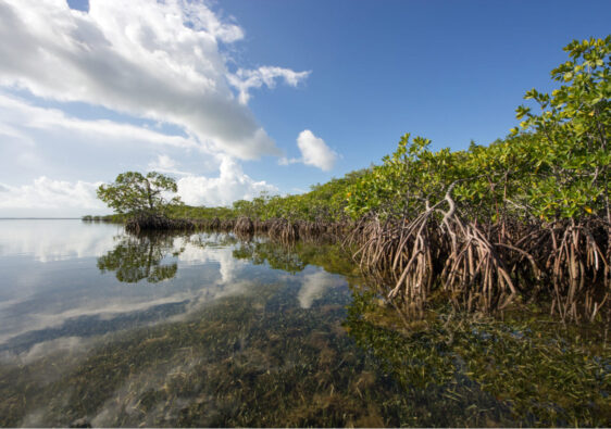
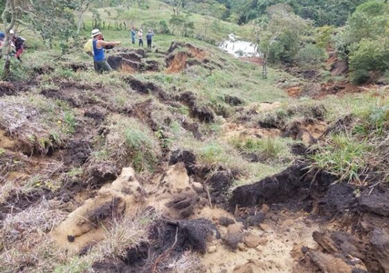
This study refers to the mapping of 4 ecological corridors in the Gulf of Morrosquillo, together with the description of the anthropogenic threats to the biodiversity of the coastal ecosystems of the indigenous Zenú territory. Coastal fragmentation and the potential loss of associated habitat quality is one of the main causes of biodiversity loss. One of the strategies to promote its maintenance at the landscape level is the establishment of biological corridors that facilitate the structural and functional connectivity of biotic elements. However, the applicability and functionality of this tool is limited by the lack of planning at the time of the design and establishment of corridors or connectivity networks that obey detailed and rigorous methods. In this investigation we developed a theoretical proposal of ecological connectivity for the corregimiento of Golfo de Morrosquillo, municipality of Sucre, Colombia, using tools of landscape ecology. Initially, 21 coast fragments or cores to be connected were selected based on their minimum size (greater than 5 ha), interior area (greater than 1 ha) and their shape indexes (rounded or almost rounded). Then, from the creation of a friction matrix to the displacement, we designed a potential network that would allow to connect 32Km2 of nodes of remaining coasts through 31 ecological corridors of 100 m wide with a total extension of 208.33 ha. Finally, we discuss the importance of promoting this type of planning tools with landscape ecology tools that promote habitat conservation and landscape connectivity in areas close to large Latin American cities.
Keywords: biodiversity, ecological connectivity, landscape.


